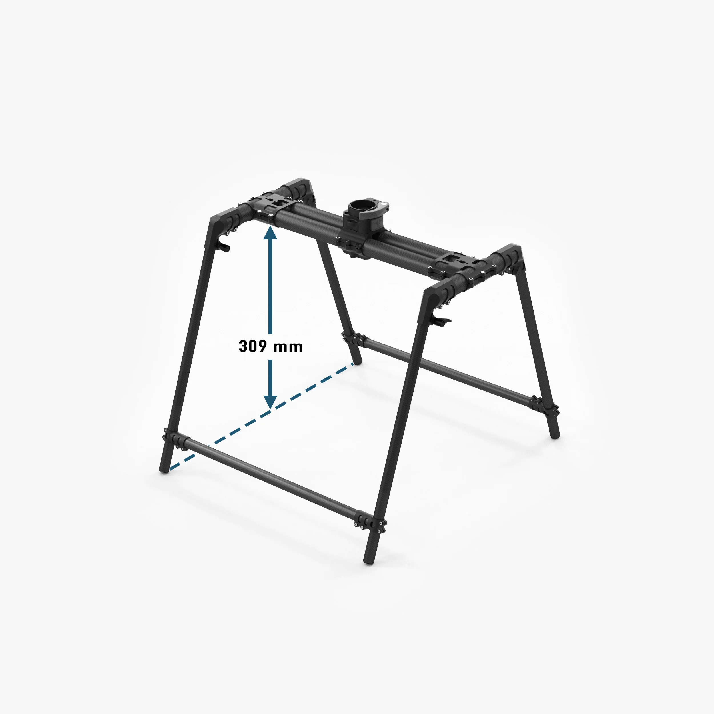
Flux L1
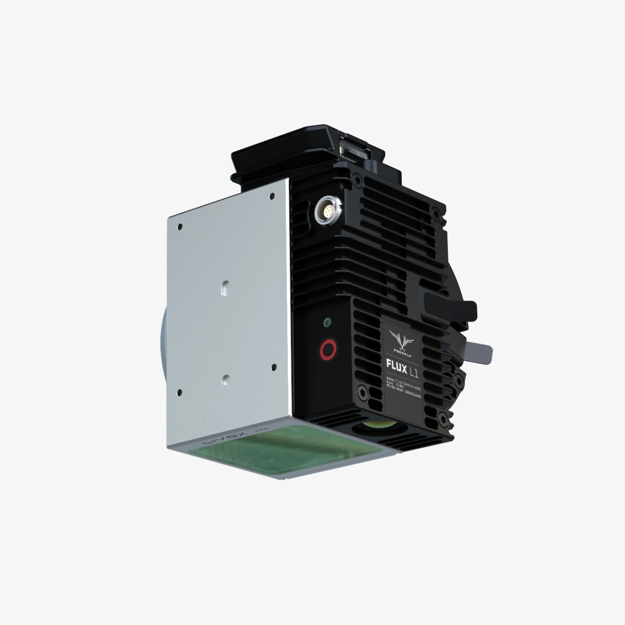
The Flux L1 makes professional LiDAR mapping more accessible without compromising on capability.
Powered by the Livox Avia scanner, the L1 offers long-range coverage and non-repetitive scanning patterns ideal for power line inspection, forestry, and hard-to-map assets.
Affordable, reliable, and lightweight, it’s the entry point to high-value 3D capture.
Features
- No software subscription/maintenance cost
- ±5 cm accuracy, 2 cm precision
- Extended 450 m range with 70° × 77° field of view
- Non-repetitive scanning for complete coverage of complex structures
- Compact 715g payload optimized for long flights
- GNSS Post-Processing (PPK)*
- Export to LAS or LAZ**
*Operation of Flux L1 requires the use of a full band GNSS base station (L1, L2, L5, and L6) or equivalent NTRIP. Click here for more information.
**Post-processing requires a modern M-processor iPad with the Freefly Flow app (free app). See the "in the box section" tab for recommended iPad specs.
More Images
Flux L1
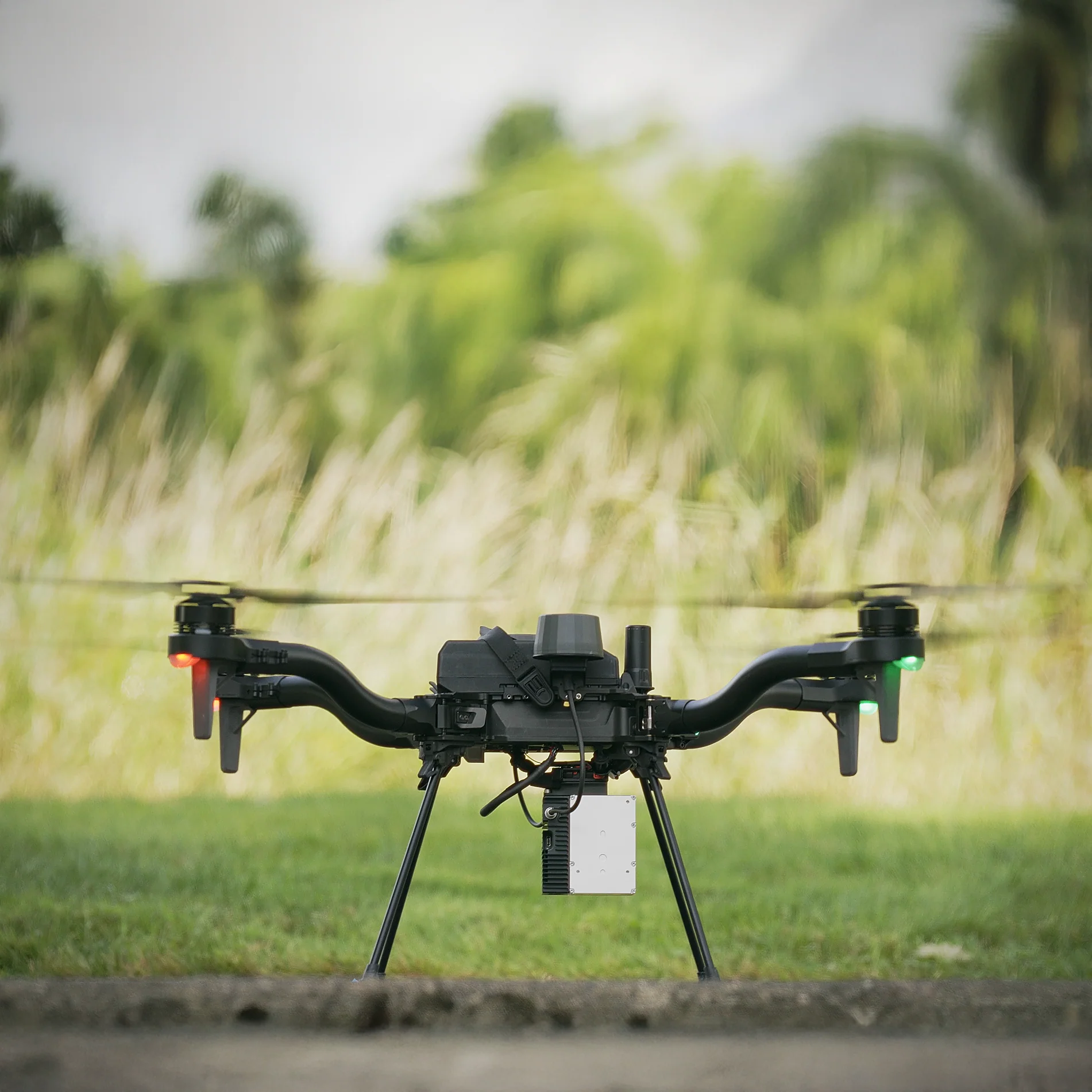
The Flux L1 makes professional LiDAR mapping more accessible without compromising on capability.
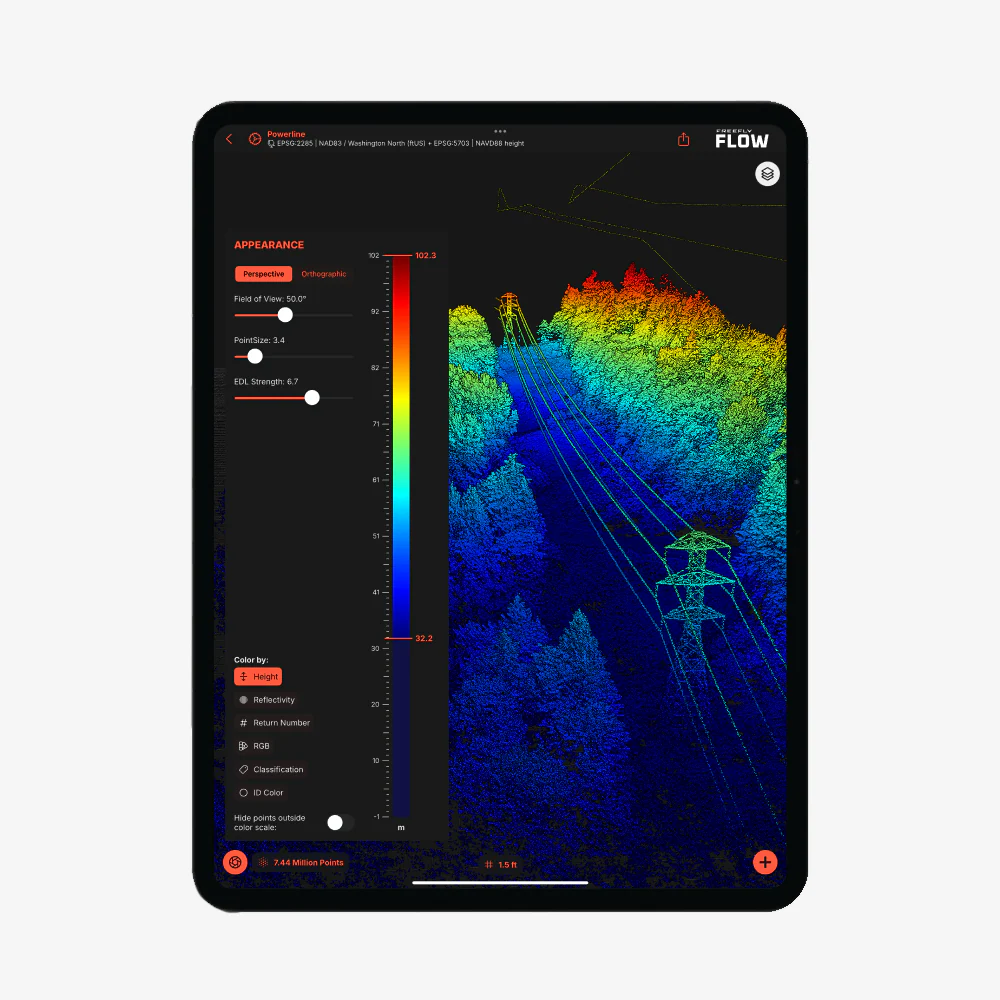
Powered by the Livox Avia scanner, the L1 offers long-range coverage and non-repetitive scanning patterns ideal for power line inspection, forestry, and hard-to-map assets.
Affordable, reliable, and lightweight, it’s the entry point to high-value 3D capture.
Features
- No software subscription/maintenance cost
- ±5 cm accuracy, 2 cm precision
- Extended 450 m range with 70° × 77° field of view
- Non-repetitive scanning for complete coverage of complex structures
- Compact 715g payload optimized for long flights
- GNSS Post-Processing (PPK)*
- Export to LAS or LAZ**
*Operation of Flux L1 requires the use of a full band GNSS base station (L1, L2, L5, and L6) or equivalent NTRIP. Click here for more information.
**Post-processing requires a modern M-processor iPad with the Freefly Flow app (free app). See the "in the box section" tab for recommended iPad specs.
Product Information
Product Information
Shipping & Returns
Shipping & Returns
Description
The Flux L1 makes professional LiDAR mapping more accessible without compromising on capability.
Powered by the Livox Avia scanner, the L1 offers long-range coverage and non-repetitive scanning patterns ideal for power line inspection, forestry, and hard-to-map assets.
Affordable, reliable, and lightweight, it’s the entry point to high-value 3D capture.
Features
- No software subscription/maintenance cost
- ±5 cm accuracy, 2 cm precision
- Extended 450 m range with 70° × 77° field of view
- Non-repetitive scanning for complete coverage of complex structures
- Compact 715g payload optimized for long flights
- GNSS Post-Processing (PPK)*
- Export to LAS or LAZ**
*Operation of Flux L1 requires the use of a full band GNSS base station (L1, L2, L5, and L6) or equivalent NTRIP. Click here for more information.
**Post-processing requires a modern M-processor iPad with the Freefly Flow app (free app). See the "in the box section" tab for recommended iPad specs.